What We Do
We offer comprehensive geological services to ensure you get accurate and reliable results at every stage of your projects.
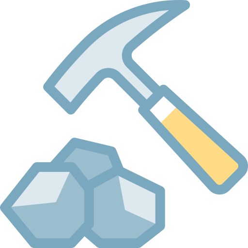
Geological Exploration
Our company provides comprehensive geological exploration services with geologists who have local expertise. This service includes field mapping, sample collection, laboratory analysis, and identification of potential mineral deposits. We use the latest equipment and methods to provide accurate and reliable data for your projects.
Additional InformationGeotechnical Surveying and Monitoring
Our geotechnical surveying and monitoring services cover structural and lithological core logging. We conduct soil stability assessments, monitor groundwater levels, and track environmental impacts. By collecting real-time data with modern sensors and software, we ensure the safety of projects.
Mineral and Ore Resources
We prepare the necessary audit reports for mining, deposit, and exploration projects. This service includes analysis, laboratory reports, resource estimation, and reports compliant with international standards (e.g., JORC). We determine the volume, quality, and economic value of mineral resources, providing valuable information for investors and companies.
GIS Services (Geographic Information Systems)
Our GIS services cover data collection, mapping, and spatial analysis. We create custom maps for geological and environmental projects, manage spatial data, and perform modeling. This service is ideal for construction planning, environmental assessment, and resource management.
Additional InformationSatellite Imagery Acquisition
Our satellite imagery acquisition service provides high-quality satellite images using remote sensing technologies. This service includes image acquisition, processing, and analysis. It is used for monitoring land use, environmental changes, and identifying geological structures.
Additional InformationOur Work Process
We approach each project individually and apply our proven work methodology for successful results.
Consultation and Planning
We meet with you to understand your project requirements and develop a detailed action plan.
Fieldwork
Our expert team conducts data collection and sampling on-site using modern equipment.
Analysis and Modeling
Collected data is analyzed in the laboratory, and geological models are created to obtain accurate results.
Reporting and Presentation
We prepare comprehensive reports covering the final results and present them to you.
 AZ
AZ EN
EN RU
RU