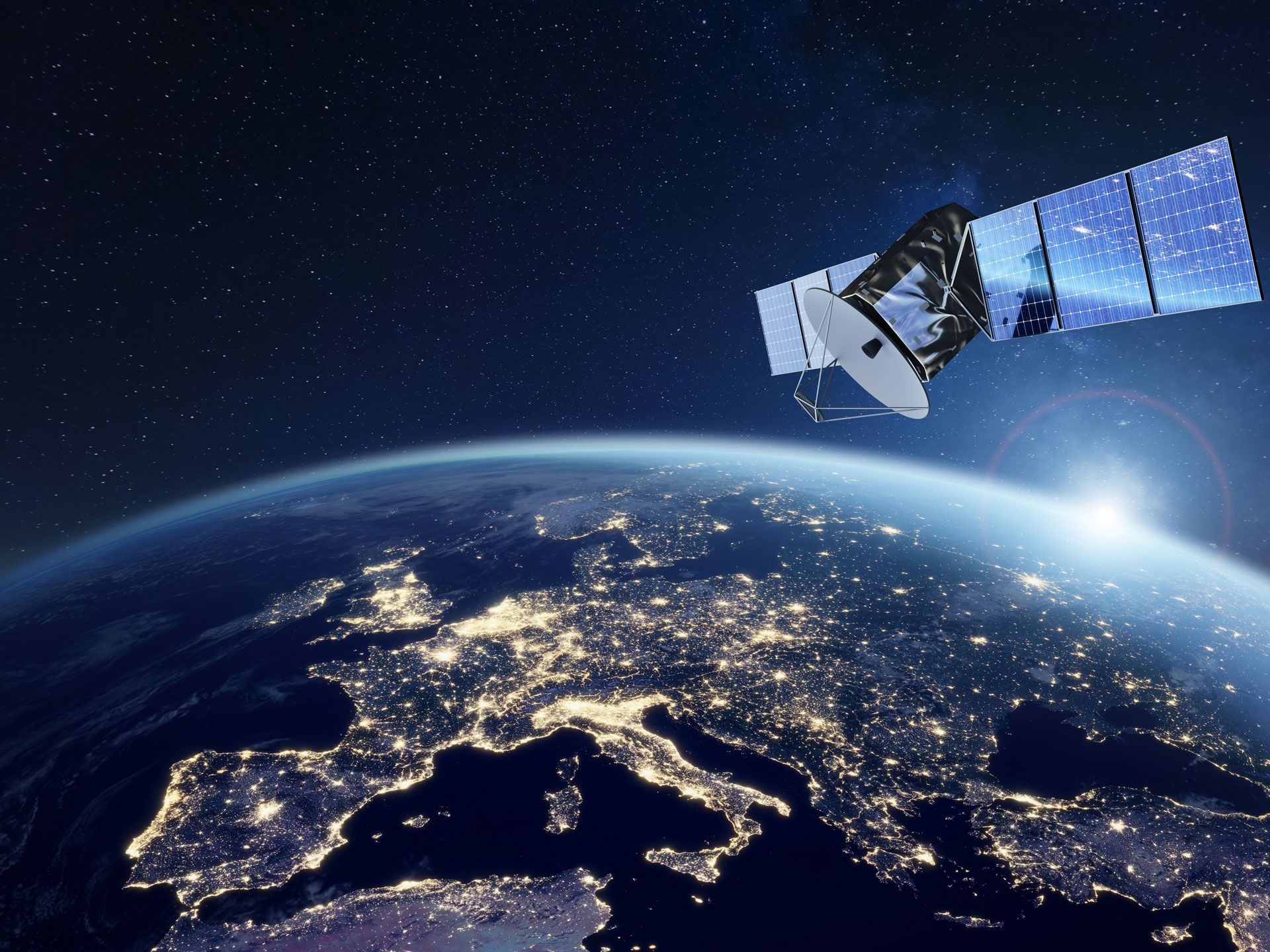
What is This Service?
The satellite imagery acquisition service provides high-quality images of the Earth's surface using **remote sensing technologies**. This is a modern approach that allows for the rapid, effective, and cost-efficient study of large areas that are difficult to access physically. Thanks to this technology, it is also possible to obtain information invisible to the human eye (e.g., thermal differences in the infrared spectrum or the health of vegetation).
As GeoCompany, we don't just provide raw images. Our specialists process this data with professional software, conduct spectral analyses, and ultimately transform them into easy-to-understand maps, reports, and 3D models tailored to the specific goals of your project. Our aim is to turn complex data into a **clear tool** that enables you to make practical decisions.
Application Areas
Data obtained from satellite imagery helps in making critical decisions across many fields.
Mining
Monitoring of deposits, identification of geological structures, and environmental impact assessment.
Agriculture
Analysis of croplands, yield forecasting, and optimization of irrigation systems.
Urban Planning
Planning of infrastructure projects, detection of illegal constructions, and monitoring of urban changes.
Environment
Assessment and monitoring of forest fires, floods, droughts, and other ecological changes.
Our Work Process
We approach each project individually and apply our proven work methodology for successful results.
Consultation & Planning
We meet with you to understand your project requirements and select the most suitable satellite data.
Data Acquisition
We acquire the necessary imagery for your project from various satellite sources (e.g., Sentinel, Landsat).
Processing & Analysis
The imagery is processed with special algorithms, and our experts conduct in-depth analysis.
Reporting & Presentation
We prepare comprehensive reports and visual maps with the final results and present them to you.
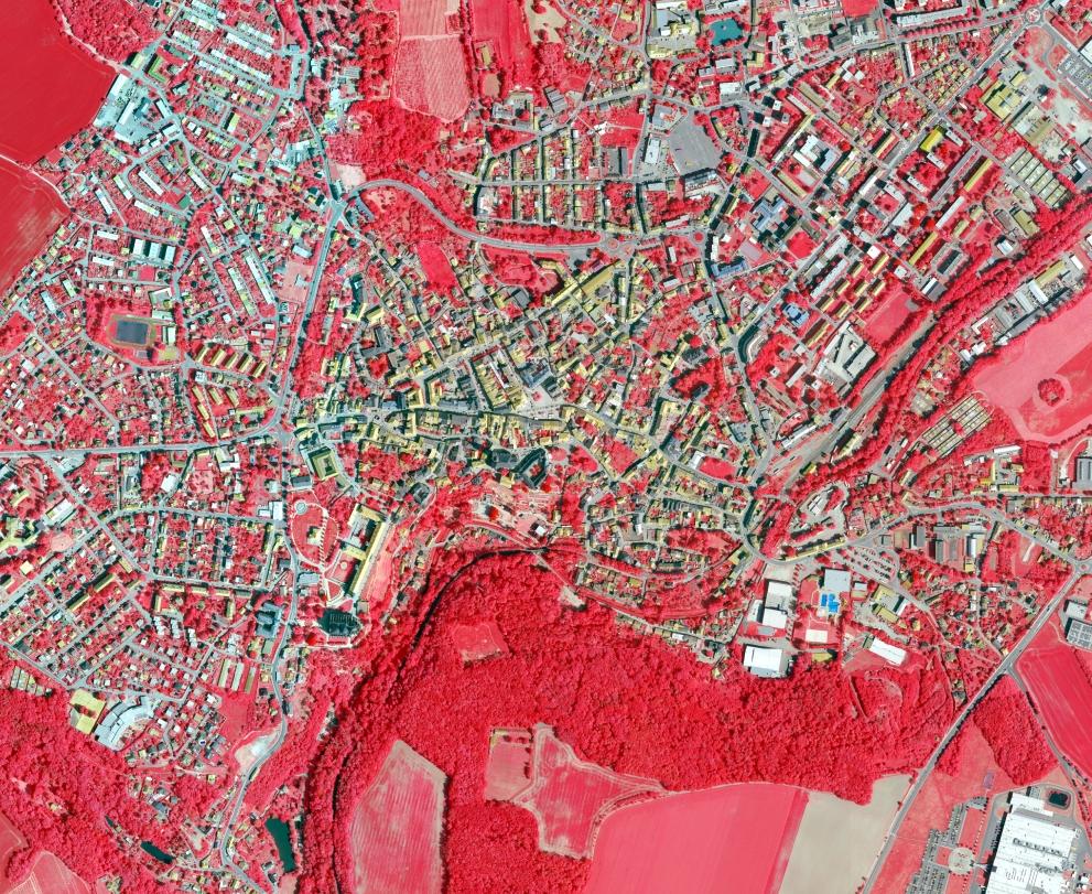
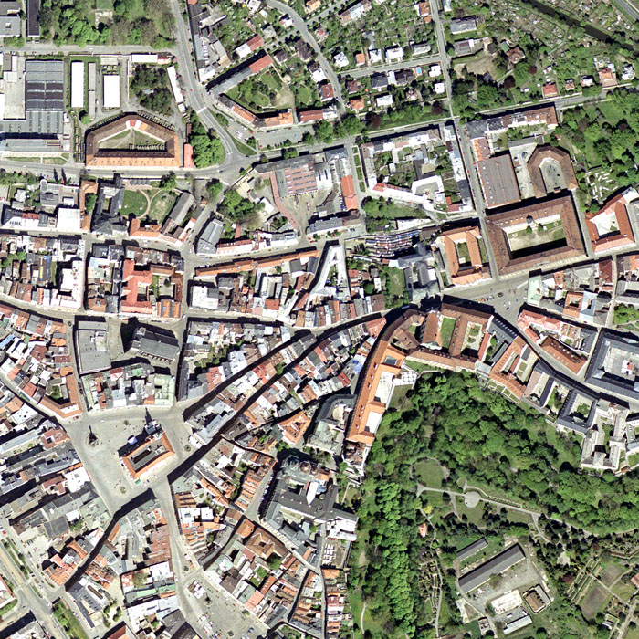
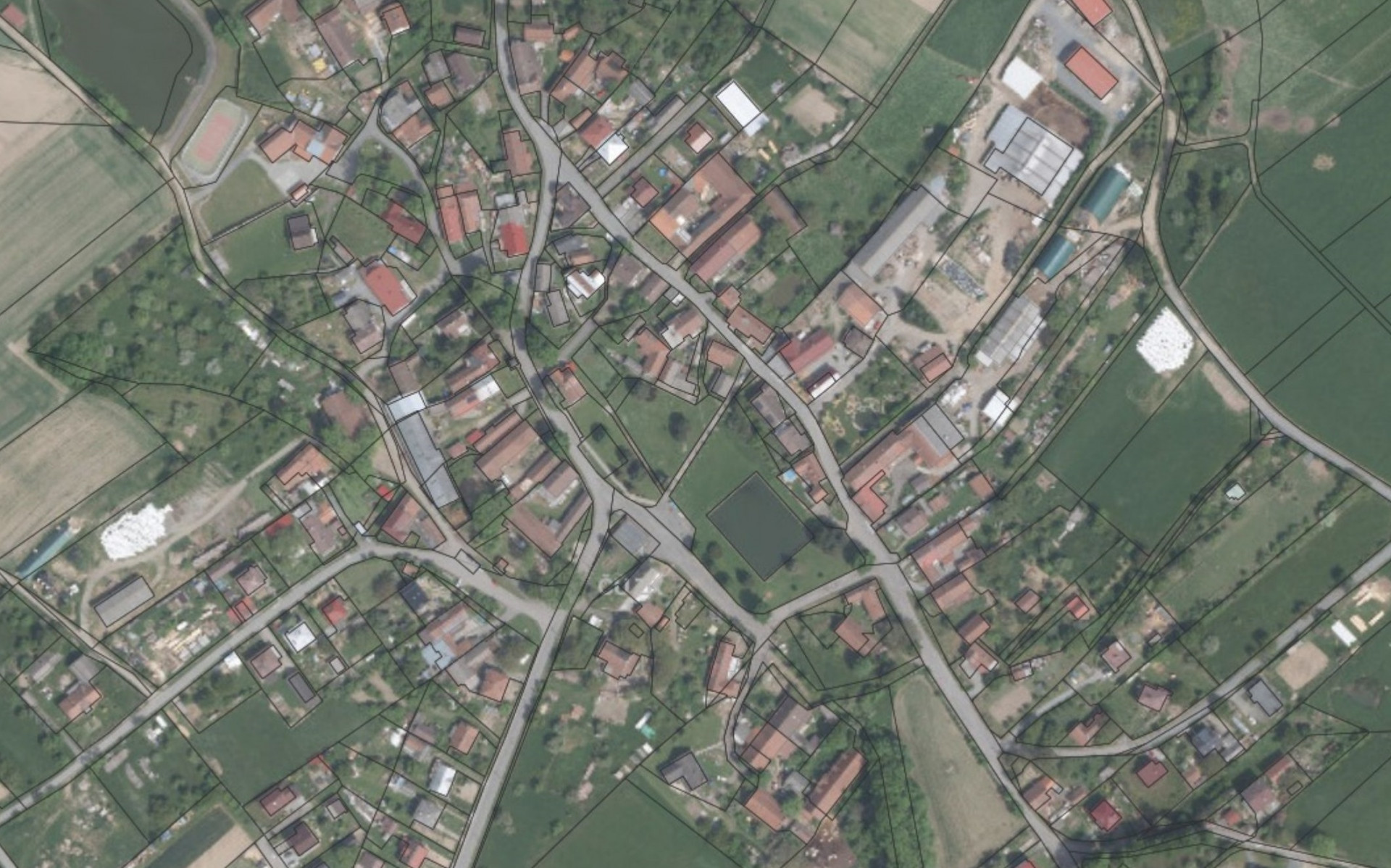
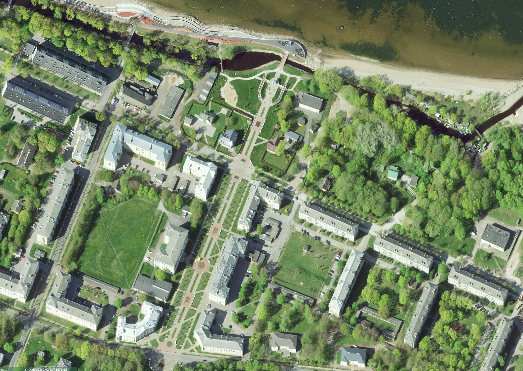
Sample Images
Some results from the analysis of satellite images.
Let's Start Your Project
Leverage the power of satellite imagery for your project. Contact us for a free consultation.
Contact Us Now
 AZ
AZ EN
EN RU
RU